
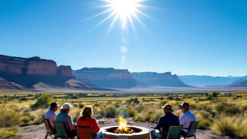
Grand Junction residents and those across the Grand Valley can expect a week of unseasonably high temperatures, with conditions remaining warmer and drier than typical for this time of year. Current forecasts indicate high temperatures consistently reaching into the high 80s and low 90s through Friday, accompanied by elevated fire weather conditions for localized areas and a very high UV index. While sunny and warm weather will dominate, isolated showers are possible over higher elevations starting Friday and extending into the weekend, bringing a slight shift before cooler, more seasonal temperatures arrive next week.
For today, conditions across the Grand Valley are sunny with only a few clouds. Temperatures are continuing to warm, pushing into the high 80s to low 90s during the day. Overnight and into the morning hours, low temperatures are anticipated to range from the mid-50s to the low 60s. Wind gusts are expected to reach between 15 and 20 miles per hour, contributing to the dry conditions. The low humidity combined with these winds means that elevated fire weather conditions are in effect for localized areas, particularly those in the vicinity of the Four Corners region. Residents spending time outdoors should also be aware of a very high UV index, rated at 9, which can lead to sunburn in approximately 20 minutes without protection.
Moving into Thursday, the Grand Valley will continue to experience mostly sunny conditions. Temperatures are projected to remain much warmer than normal, with highs again in the high 80s to low 90s. Overnight and morning low temperatures are expected to mirror those of today, falling between the mid-50s and low 60s. The persistent warmth underscores the ongoing dry pattern for the region.
By Friday, the forecast shows mostly sunny to partly cloudy skies. High temperatures will maintain the trend of the week, staying in the high 80s to low 90s. There will be a developing chance for afternoon showers, though these are expected to favor the higher elevations surrounding the valley rather than significant precipitation in urban areas. Overnight lows will again be in the mid-50s to low 60s.
Heading into the weekend, the Grand Valley can anticipate partly cloudy skies. The possibility of scattered showers continues, again primarily favoring the higher elevations. This minor shift in weather patterns precedes a more significant change expected for next week. Forecasts indicate that cooling temperatures will return, bringing conditions closer to what is considered normal for this time of year. This upcoming cool-down will offer a noticeable change from the unseasonable warmth experienced this week.