Weather & Roads
Storms, heat, mudslides and what they do to I-70, Glenwood Canyon and US 50 — what's closed, what's coming and when it clears.

Join Now | Join Members. It's free.
Earn levels as you read · Ad-free · Newsletter · Exclusive benefits
Rookie Reporter → Shadow Editor
Latest Stories
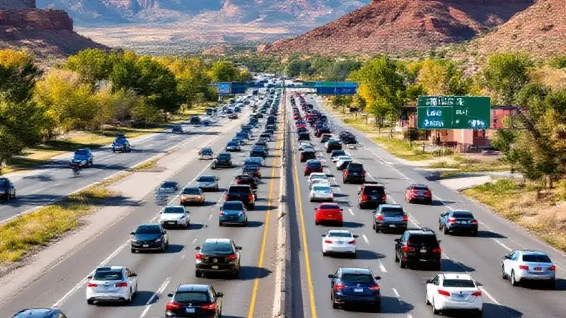
A New Report Highlights How Traffic Congestion on Interstate 70 Impacts Local Businesses, Tourism, Residents, and Emergency Services Across the State, Including the Grand Junction Area.
Forecasts Indicate Rain and Thunderstorms for Most Local Towns, with High-Elevation Snow Possible as Temperatures Drop by the Week of October 12.
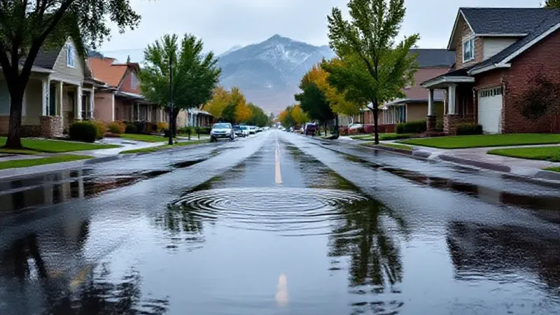
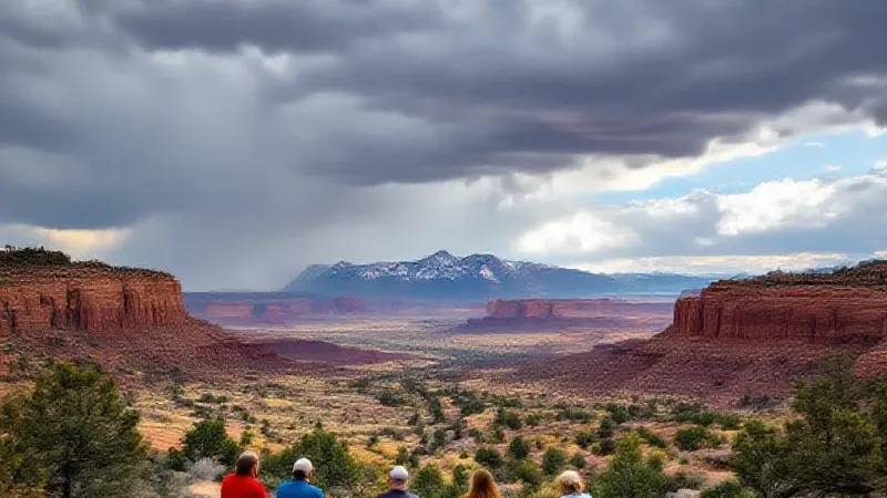
Forecasters Predict a Shift From Unseasonably High Temperatures and Dry Conditions to Widespread Rain and a Risk of Flooding Through Sunday, with Cooler Weather Continuing Into Next Week.
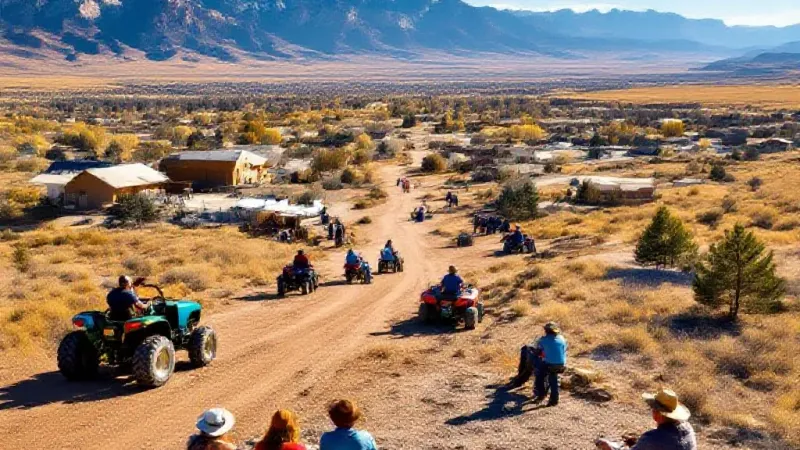
Unseasonably Warm Temperatures Will Persist Through the Week with Only Isolated Mountain Showers, but Forecasters Are Tracking a More Substantial Rain and Mountain Snow Event for the Grand Valley Starting Saturday.
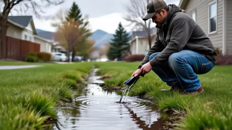
Western Slope Septic Systems Face Risks After Heavy Rainfall
Recent Heavy Rains, Particularly Following Prolonged Dry Spells, Are Raising Concerns Among Montrose County Officials About Potential Damage to Residential Septic Systems Across the Western Slope.
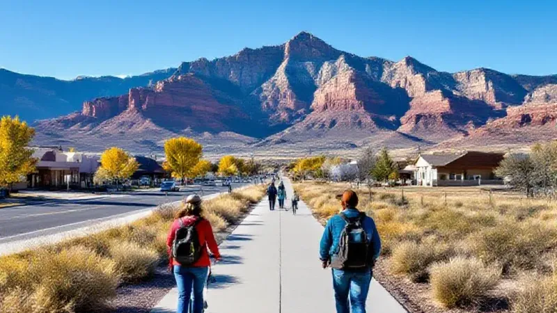
Unseasonably Warm Weather Persists in Grand Valley This Week
High Temperatures Are Forecast to Be 10 to 14 Degrees Above Normal Through Wednesday, with a Shift to Cooler, Wetter Conditions Expected by Sunday.
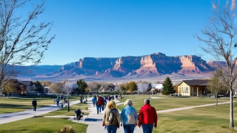
Grand Junction and Western Colorado Will Experience Plentiful Sunshine and Temperatures Significantly Above Normal, with Records Potentially Tied or Broken by Midweek.
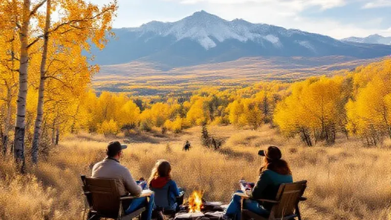
Forecasts From Multiple Services Indicate Parts of Colorado Could See Early Season Snowfall Between Tuesday Evening and Thursday Morning, Though Significant Accumulation for Local Ski Resorts Appears Unlikely.
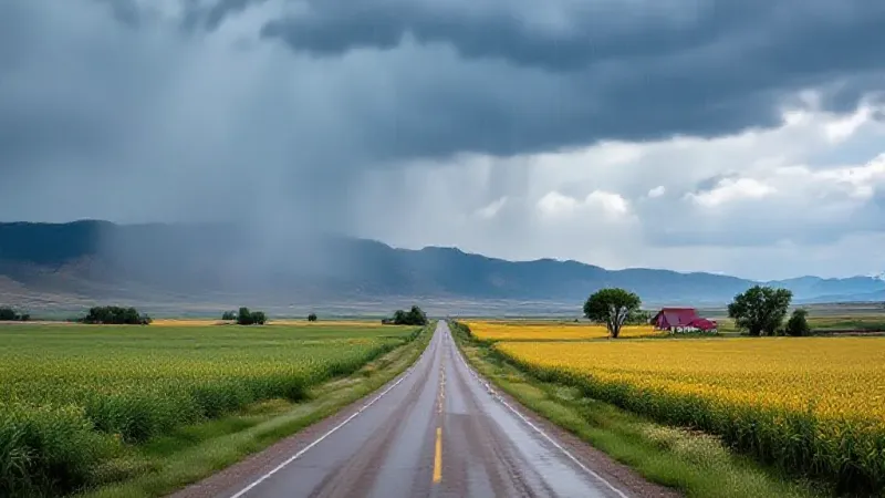
Rural Areas South of Grand Junction Face a Flood Watch Until Wednesday Morning, with 1 to 2 Inches of Rain Expected From a Pacific Weather System.
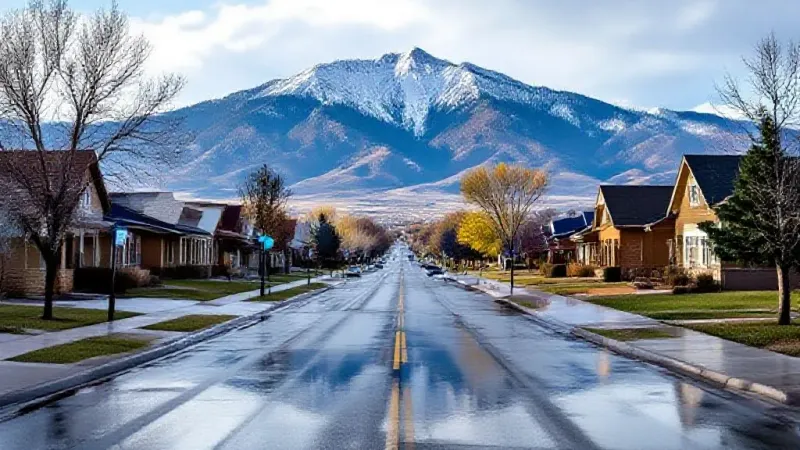
Scattered Showers Are Possible Friday Before a Dry Weekend, with Rain Returning Monday and Snow Impacting High Mountain Passes by Tuesday Morning, According to Kkco.
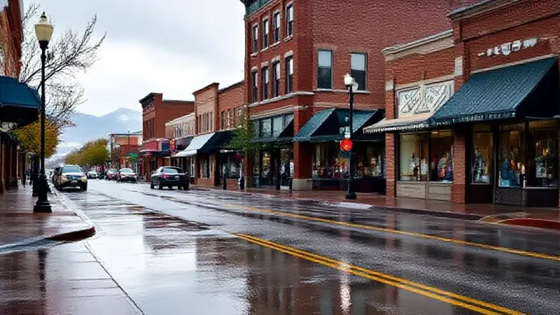
Grand Junction Anticipates Multi-Day Rain and Storm Chances
Forecasters Warn of Potential Heavy Rain, Gusty Winds, and Localized Flooding Through Friday, with a Clearer but Still Unsettled Weekend Ahead.
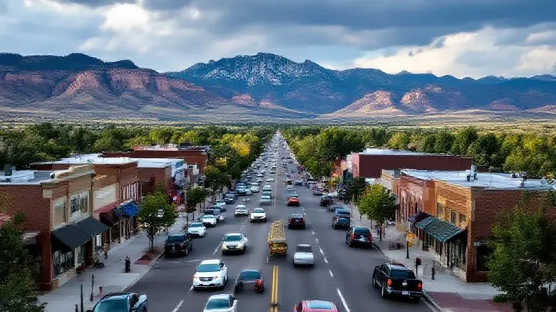
Forecast Models Show Mixed Signals for Rain Timing and Coverage Across the Region, with Some Areas Likely to Remain Dry Through the Day.
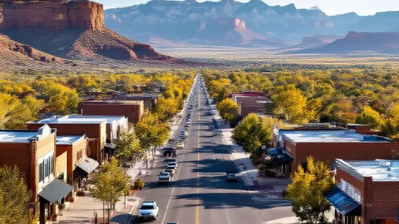
Showers and Thunderstorms Return to Grand Junction This Week
After a Mostly Dry Start, Residents Can Expect Afternoon Isolated to Scattered Showers and Thunderstorms From Tuesday Through the Week, with Temperatures Near Normal.
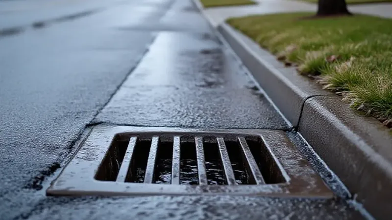
Forecasters Predict Thursday Will Be the Rainiest Day of the Week, Bringing an Elevated Risk of Flooding Across Western Colorado and Eastern Utah.
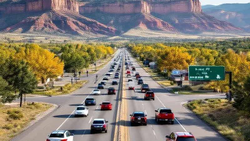
I-70 Closures Near Denver Set for Two Upcoming Weekends
The Colorado Department of Transportation Announced Significant I-70 Lane Closures Over Kipling Street in Wheat Ridge and Arvada for Critical Bridge Repairs, Potentially Impacting Western Slope Travelers.
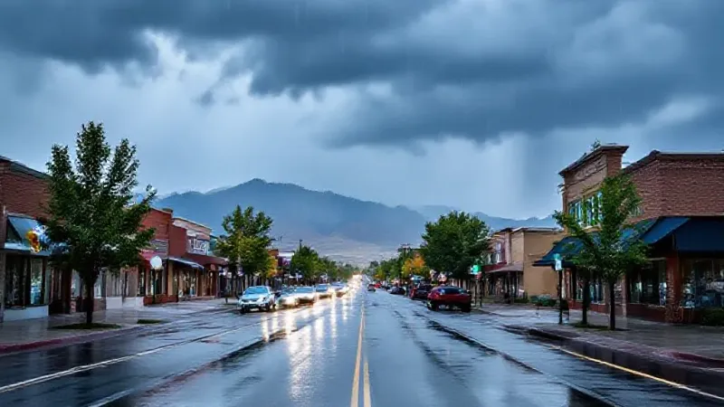
Heavy Rain, Hail, and Gusty Winds Are Expected in the Grand Valley, with Localized Flooding Possible, Before Clear Weather Arrives for the Weekend.
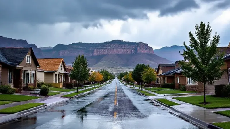
Heavy Rainfall Is Possible with Scattered Storms Through Thursday, Prompting a National Weather Service Flood Watch for Many Regional Communities.
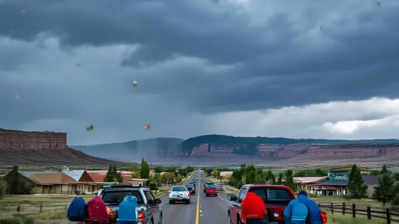
Grand Valley Braces for Mid-Week Storms, Cooler Air
Scattered Showers and Thunderstorms, Capable of Producing Hail and Localized Flooding, Are Forecast Through Thursday Before Conditions Clear for the Weekend.
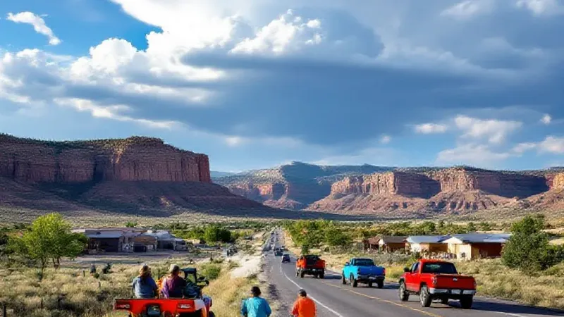
Forecasters Predict a Mostly Clear Start to the Weekend, but Showers and Thunderstorms Are Expected to Develop by Sunday and Continue Into Early Next Week, Bringing a Risk of Flash Flooding to Western Colorado.
Residents Can Expect Highs in the High 80s and Low 90s Through Friday, with a Very High UV Index and Elevated Fire Weather Conditions in Some Areas.
