Grand Junction and Mesa County are set to experience a significant shift in weather patterns this weekend, transitioning from a week of unseasonably warm and dry conditions to widespread rain, cooler temperatures, and a risk of localized flooding. Forecasters indicate that temperatures, which have been well above normal for much of the week, will drop significantly as rain chances increase starting Saturday.
Throughout today and Friday, residents can expect mostly sunny and dry conditions in the valleys, though forecasters note isolated mountain showers may drift into some valley areas. High temperatures for today are anticipated to range from the mid-70s to mid-80s across the Grand Valley, with overnight lows from the mid-40s to high-50s. Friday will remain mostly sunny and generally drier, with highs from the mid-70s to low-80s. Overnight into Saturday morning, low temperatures will again range from the mid-40s to high-50s. Forecasters report these temperatures are 12 to 14 degrees above normal for this time of year, contributing to an unseasonably warm stretch across the region.
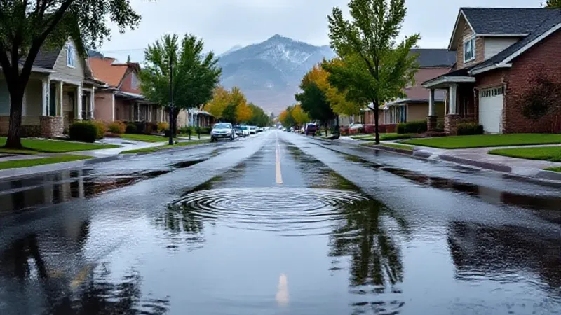
The weather pattern begins to change significantly on Saturday. Forecasters predict increasing clouds throughout the day, with scattered showers becoming more widespread into the evening hours. Along with the rain, there is a marginal risk for flooding across the area. Local officials typically advise residents to exercise extreme caution around standing water, reminding them to turn around rather than attempt to drive or walk through unknown depths on flooded roadways. High temperatures on Saturday are expected to be in the low to high 70s, marking the start of the cooling trend. Overnight lows are anticipated to range from the mid-40s to mid-50s.
Sunday will bring occasional rain throughout the majority of the day for Grand Junction and surrounding areas. The risk of flooding increases slightly, with forecasters noting a marginal to slight risk. The same safety advice about avoiding flooded roads remains critical for all residents. Temperatures will be noticeably cooler, with highs ranging from the high 60s to low 70s, a significant drop from the week's earlier warmth. Overnight into Monday morning, low temperatures are anticipated to be between the mid-40s and mid-50s.
The trend of cooler and wetter weather is expected to continue into next week. Forecasters indicate ongoing rain chances and temperatures that will be cooler than normal for the season. While the specifics regarding the timing and exact location for next week's rain remain uncertain, there is also a potential for mountain snow at higher elevations. This sustained period of precipitation follows a stretch of unseasonable warmth, bringing a notable shift for outdoor plans, agricultural concerns, and daily commutes across the Grand Valley. Residents should prepare for changing conditions and stay informed on local weather updates.