
Rain, Mountain Snow, and Gusty Winds Expected Across Grand Junction and Nearby Elevations
KKCO Reported That a Weather System Bringing Rain, Snow, and Strong Winds Will Arrive Tuesday Afternoon.

Aggregates satirical news about weather forecasts. Features humorous articles, parodies, and comedic takes on meteorology and predictions
KKCO Reported That a Weather System Bringing Rain, Snow, and Strong Winds Will Arrive Tuesday Afternoon.
KKCO Reports That Two Incoming Weather Systems Will Drop Valley Rain, Bring Mountain Snow, and Lower Temperatures Across the Region.
While Statewide Snowpack Dips Below Normal with Stark Regional Differences, Upcoming Forecasts Point to Potential Snow Accumulations of Over Two Feet in the High Peaks.
Warmer Temperatures Have Shifted an Anticipated Snowstorm Into a Period of Widespread, Prolonged Rainfall Across the Western Slope Through Friday, with Flooding Identified as the Primary Local Concern.
Scattered to Widespread Showers and Thunderstorms Are Expected From Saturday Through Wednesday, Bringing a Noticeable Drop in Daily Highs.
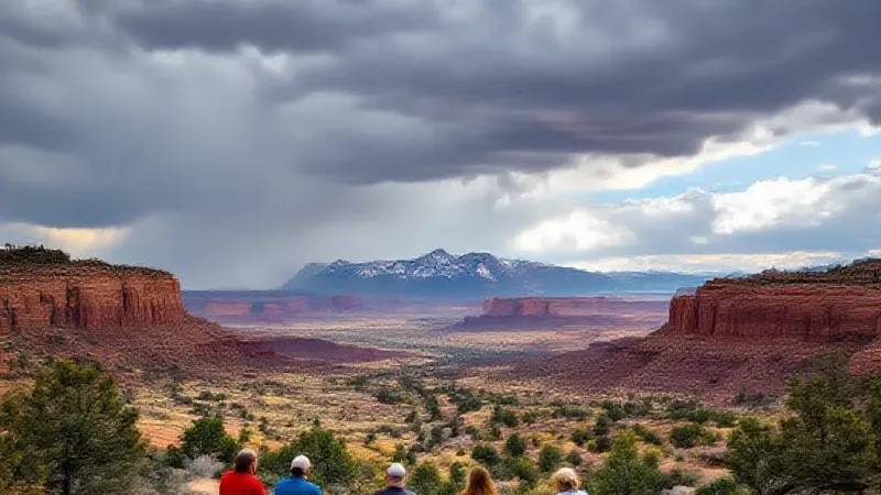
Forecasts Indicate Rain and Thunderstorms for Most Local Towns, with High-Elevation Snow Possible as Temperatures Drop by the Week of October 12.
Forecasters Predict a Shift From Unseasonably High Temperatures and Dry Conditions to Widespread Rain and a Risk of Flooding Through Sunday, with Cooler Weather Continuing Into Next Week.
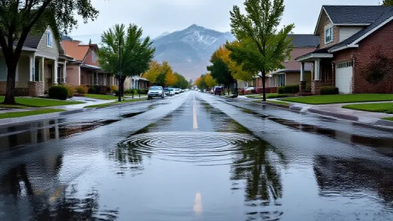
Unseasonably Warm Temperatures Will Persist Through the Week with Only Isolated Mountain Showers, but Forecasters Are Tracking a More Substantial Rain and Mountain Snow Event for the Grand Valley Starting Saturday.
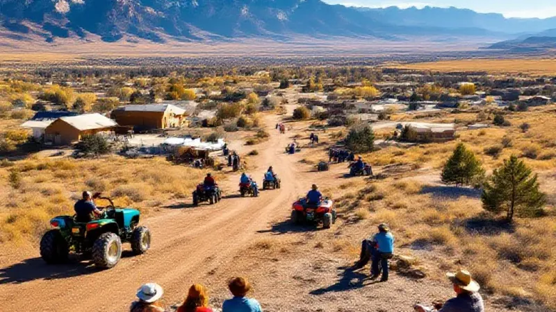
High Temperatures Are Forecast to Be 10 to 14 Degrees Above Normal Through Wednesday, with a Shift to Cooler, Wetter Conditions Expected by Sunday.
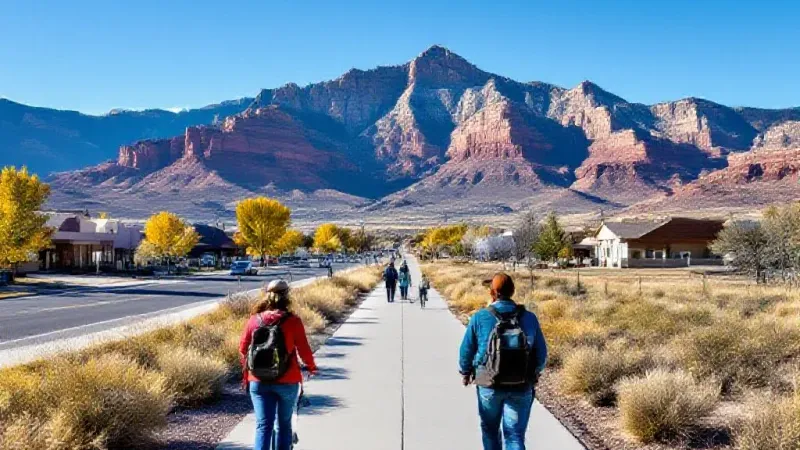
Grand Junction and Western Colorado Will Experience Plentiful Sunshine and Temperatures Significantly Above Normal, with Records Potentially Tied or Broken by Midweek.
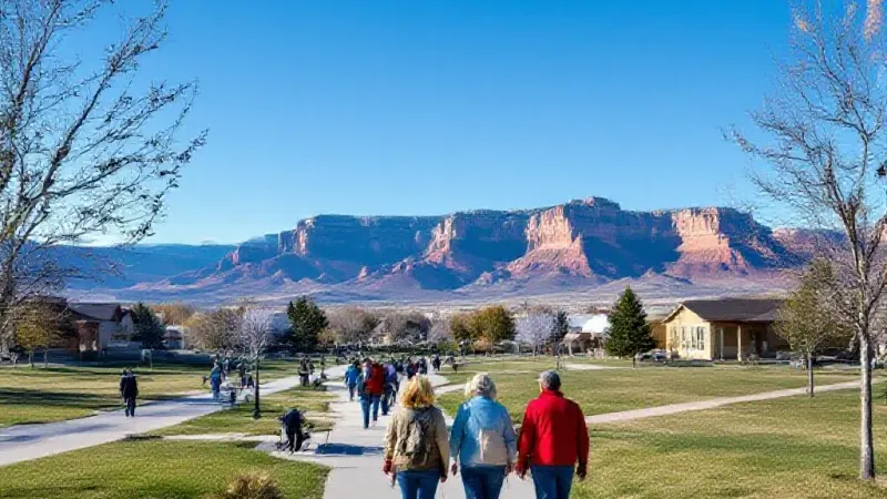
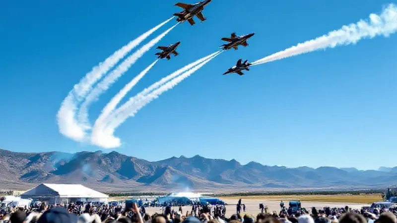
Warm Temperatures Are Forecast for the Weekend's Airshow Performances, While Local Rainfall Data Shows Some Improvement in Drought Conditions, Though Serious Deficits Remain.
Forecasts From Multiple Services Indicate Parts of Colorado Could See Early Season Snowfall Between Tuesday Evening and Thursday Morning, Though Significant Accumulation for Local Ski Resorts Appears Unlikely.
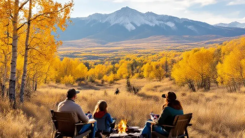
Scattered Showers Are Possible Friday Before a Dry Weekend, with Rain Returning Monday and Snow Impacting High Mountain Passes by Tuesday Morning, According to Kkco.
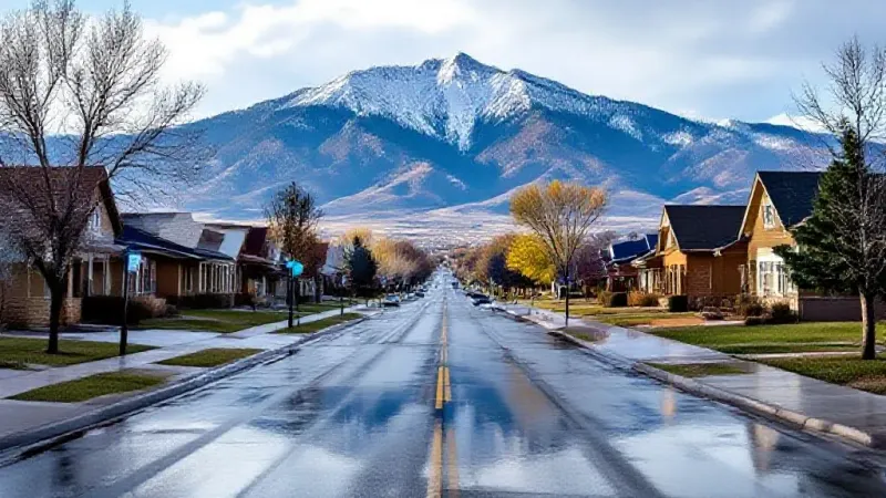
Forecasters Warn of Potential Heavy Rain, Gusty Winds, and Localized Flooding Through Friday, with a Clearer but Still Unsettled Weekend Ahead.
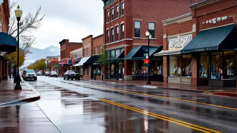
After a Mostly Dry Start, Residents Can Expect Afternoon Isolated to Scattered Showers and Thunderstorms From Tuesday Through the Week, with Temperatures Near Normal.
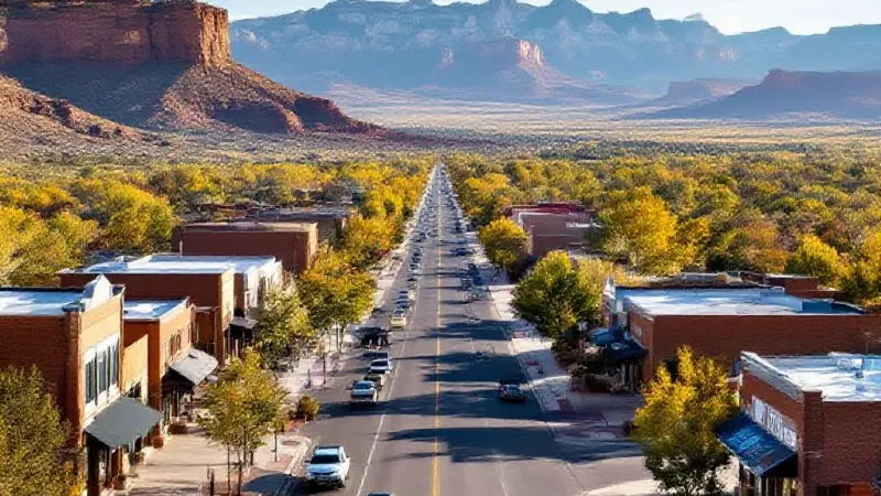
Forecasters Predict Thursday Will Be the Rainiest Day of the Week, Bringing an Elevated Risk of Flooding Across Western Colorado and Eastern Utah.
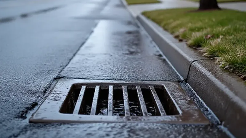
Scattered Showers and Thunderstorms, Capable of Producing Hail and Localized Flooding, Are Forecast Through Thursday Before Conditions Clear for the Weekend.
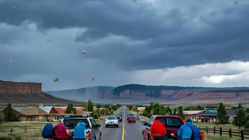
Forecasters Predict Dry Conditions and Near-90-Degree Temperatures Through Friday, with Scattered Showers and Thunderstorms Potentially Returning for Saturday and Sunday.

That's all of them — 18 articles total.