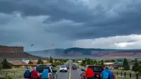
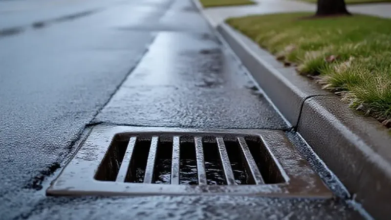
Grand Junction and the wider Grand Valley can expect widespread rain, particularly through Thursday morning, with a Flood Watch in effect for parts of Southwest Colorado and Eastern Utah until midnight Thursday night. Forecasters predict that Thursday could be the rainiest day of the week, with an elevated risk of flooding and flash flooding across all of Western Colorado and Eastern Utah.
The Flood Watch covers Montezuma, La Plata, Dolores, eastern San Miguel, Ouray, and San Juan counties in Southwest Colorado. It also extends to Grand and San Juan counties in eastern Utah. Areas within this watch include Cortez, Dolores, Dove Creek, the Ute Mountain Reservation, Durango, Telluride, Ouray, Silverton, Rico, and Sawpit. Residents in these areas should be aware that excessive rainfall and runoff into rivers, creeks, and streams can lead to flooding and dangerous flash flooding.
Even outside the direct Flood Watch area, the risk of flooding and flash flooding is considered elevated for all of Western Colorado and Eastern Utah. Wildfire burn areas, including scars from fires that occurred up to three years ago, are especially vulnerable to flash flooding and debris slides due to the ground's reduced ability to absorb water. Additionally, dry creeks, particularly those along the northern edge of Colorado National Monument where rain runs off rocky canyons, are prone to potentially dangerous flash flooding.
For the Grand Valley, Thursday is expected to be cloudy with widespread rain and some rumbles of thunder, especially before midday. The afternoon will continue to be cloudy with scattered showers and thunderstorms. Temperatures in Grand Junction are projected to start in the low-to-mid 60s around 7 AM, warming to mid-to-upper 60s by noon, and reaching low-to-mid 70s by 4 PM. The high temperature for the afternoon in Grand Junction is forecast to be near 74 degrees.
Rainfall will gradually intensify from south to north, starting from the Four Corners region and moving towards Montrose, Nucla, and Delta through midnight Thursday night. The Grand Valley is expected to see rain fill in more widely between midnight and approximately 6 AM, with widespread rain likely throughout the morning. The intensity is anticipated to gradually diminish between 9 AM and noon. While a few showers and thunderstorms could linger into Thursday afternoon, most areas should experience a dry break that will last through the night and into early Friday.
Looking ahead to rainfall totals, the San Juans and the Uncompahgre Plateau could see as much as 2 to 4 inches of rain through Thursday evening. Valleys on the Western Slope, including the Grand Valley, could receive up to an inch to an inch and a half of rain, with other valley areas ranging from a half inch to an inch. Forecasters note there can be some local variation, with higher elevations generally favored for greater amounts.
Following the Thursday precipitation, Friday and Saturday may bring more scattered showers and thunderstorms to the region. Residents are advised to stay informed about weather conditions and be prepared for potential flooding, especially near burn scars and dry creek beds.