Grand Junction and the wider Grand Valley are preparing for a shift to wetter weather starting Tuesday, with chances for showers and thunderstorms expected to return through the week. Temperatures are forecast to remain near normal for this time of year.
Tuesday is expected to be partly cloudy, with isolated to possible scattered showers and thunderstorms developing in the afternoon hours. High temperatures for Tuesday will range from the mid 70s to the low 80s across the valley. Overnight into Wednesday morning, low temperatures are anticipated to be in the high 40s to mid 50s.
The pattern of partly cloudy skies and afternoon isolated to possible scattered showers and thunderstorms is expected to continue into Wednesday. High temperatures on Wednesday are projected to be in the low to high 70s. Similar to Tuesday night, overnight to morning low temperatures for Wednesday into Thursday are forecast to be in the high 40s to mid 50s.
Today, the Grand Valley is experiencing mostly dry conditions. Skies are partly cloudy with periods of sun, particularly earlier in the day. While the valley floor is expected to remain largely dry, there are possibilities for pop-up showers over the higher elevations surrounding Grand Junction. The UV index today is noted as high, registering at 7, which could lead to a sunburn in approximately 30 minutes. High temperatures for today are ranging in the mid 70s to low 80s. Overnight into Tuesday morning, low temperatures are predicted to be in the high 40s to high 50s.
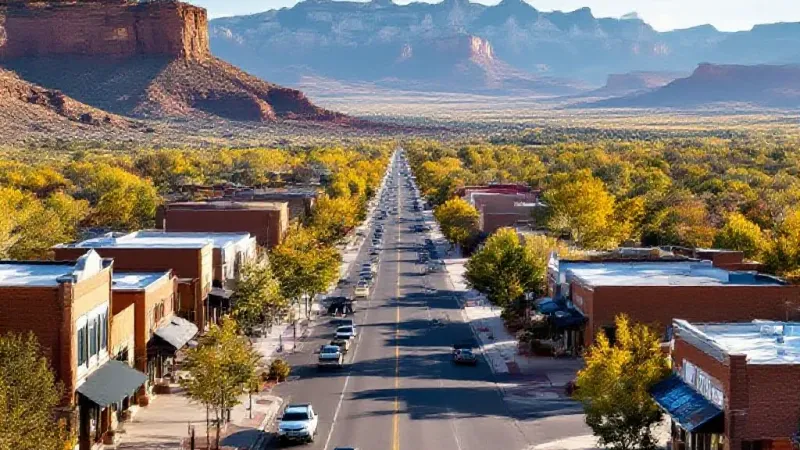
Beyond Wednesday, chances for showers and thunderstorms will continue intermittently throughout the remainder of the week. This period of increased moisture is expected to give way to clearer skies as the weekend approaches. Showers are forecast to end, with mostly sunny conditions anticipated to start the weekend. This timing coincides with some of the best peak fall foliage times for residents to enjoy the Western Slope's autumn colors.
Throughout the entire week, high temperatures are expected to hover near normal levels. Forecasts indicate highs in the mid to high 70s, with some localized areas potentially reaching the low 80s. Overnight and morning low temperatures will generally range from the high 40s to high 50s, easing into the mid 50s as the week progresses. Residents commuting from Fruita and Palisade, parents managing school schedules, and those planning outdoor activities should factor in the returning chances of afternoon precipitation. The shift in weather marks a return to more unsettled conditions after a predominantly dry period.