
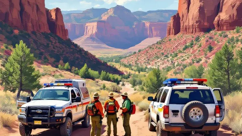
A multi-day search and rescue operation in the rugged terrain of Mesa County ended on October 24 when search crews discovered the body of a missing hiker, as Denver Gazette reported that week. The response involved multiple agencies, specialized technology, foot teams, and aerial support working across difficult canyon ground just north of Grand Junction.
The initial request for assistance came on the evening of October 22, when the Mesa County Sheriff’s Office contacted Mesa County Search and Rescue regarding a reported missing hiker. Upon receiving the call, search and rescue personnel immediately began collecting background information, organizing local resources, and formulating a tactical response plan throughout the night.
On the morning of October 23, search teams deployed directly into the Hunter Canyon area. The initial field phase focused on searching for physical clues on foot to establish the hiker’s probable route or direction of travel. Search efforts were complicated by the local topography; according to information from the Visit Grand Junction website, Hunter Canyon does not feature an official trailhead, leaving searchers without a single established path to monitor.
To overcome the ground challenges, search managers integrated air assets and digital technology into the operation. Drones were launched over the canyon, with teams running the captured video through specialized software designed to detect visual anomalies on the landscape. Classic Air Medical provided additional support from above, conducting aerial reconnaissance over the higher points of the canyon. At the same time, authorities analyzed forensic cellphone data to pinpoint specific geographical areas where field teams should concentrate their search.
Despite those combined technical and physical efforts, field crews were unable to locate the hiker before daylight began to wane on October 23. Operating in dark, night conditions significantly reduced the likelihood of spotting subtle clues on the ground and introduced safety risks for field personnel. As a result, search managers temporarily paused active operations overnight, with plans to resume early the next morning.
The search strategy shifted on October 24 after crews received fresh information from the missing hiker’s family. The new details allowed planners to narrow the vast canyon terrain down to nine distinct search segments. Search and rescue managers dispatched four foot teams into the steep cliff terrain, including a specialized search dog named Rogue.
At approximately 10 a.m. on October 24, one of the four search teams climbed a steep slope to reach the highest-elevation segment of the search area. While traversing that high zone, team members located the missing hiker, who was confirmed to be deceased.
Following the discovery, the operation immediately transitioned into a recovery effort. The task was rendered complex and physically demanding by the steep slopes and muddy ground conditions. Over the course of the next five hours, search crews rigged and operated a low-angle rope system to lower the hiker’s body down to the valley floor. Personnel then transported the body back to the primary mission staging area, where custody was officially transferred to the Mesa County Coroner’s Office.
Official sources had not released the hiker’s identity or confirmed an exact cause of death at the time of the initial report.
Although Hunter Canyon sits relatively close to the Grand Junction urban area, the terrain is steep, rugged, and feels isolated. The area demands strenuous hiking, lacks cellular phone connectivity, and offers no official trailhead, according to Visit Grand Junction. Trail reviews and online commentary from local outdoor enthusiasts noted that recent moisture had created slick conditions across the area, though official agencies did not state whether weather conditions played a direct role in the hiker’s death, beyond confirming that mud impacted the five-hour recovery process.
Search officials and safety experts remind anyone traveling into backcountry areas around Mesa County to prepare thoroughly. Hikers should outline a precise route, share that detailed itinerary with someone on the front range or at home, and stick to the plan. Because cell service in canyons like Hunter Canyon is unreliable or non-existent, carrying a satellite communication device, ample food and water, proper layers for sudden overnight temperature drops, and reliable navigation tools remains essential for safety in Western Colorado’s backcountry.