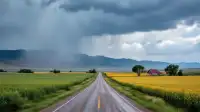
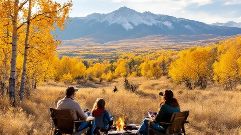
Fall is settling in across Colorado, bringing the first significant moisture of the season this week. While Grand Junction residents will see the tail end of this system, forecasts from multiple sources suggest that areas further east could receive early snowfall, though likely not enough to kick off the ski season immediately. The moisture is expected to be heaviest between Tuesday evening and Thursday morning, a time frame when some ski lifts often begin spinning for the season.
OpenSnow, a popular forecasting service for snowsports enthusiasts, anticipates modest accumulations for some typical early-opening resorts. Their report calls for about two inches of snow at Arapahoe Basin over the next five days, with Loveland and Monarch expected to receive about an inch each. Joel Gratz, OpenSnow’s founding meteorologist, indicated a chance of six to 12 inches of snow in some select spots, though not specifically at the state’s resorts. Gratz also noted the usual uncertainty this time of year regarding whether precipitation will fall as snow or rain.
However, the National Weather Service (NWS) presents a 'high-end snowfall forecast,' which carries a 10 percent chance of more substantial snow. Under this scenario, the NWS suggests that up to 12-plus inches of snow could fall in the general vicinity of Arapahoe Basin and Keystone Resort through Friday morning. Both resorts are typically among the first to open in Colorado. NWS mapping indicates that the heaviest snow from this particular scenario would likely miss Loveland Ski Area, tracking slightly south of I-70.
Even more significant totals are possible in very specific, lower-probability scenarios. Some parts of the Collegiate Peaks, particularly around Mount Princeton, could see 18-plus inches under the NWS's high-end forecast. Additionally, the same NWS mapping shows that Pikes Peak and the Sangre de Cristos to the south might receive between 12 and 18 inches if the storm intensifies significantly.
Mountain-Forecast.com offers another perspective on specific mountain peaks. Their predictions for Wednesday include about eight inches of snow on Pikes Peak and approximately three inches on Mount Princeton. Grays Peak, located near Arapahoe Basin, is forecast to receive about an inch. Further south, Blanca Peak in the Sangre de Cristos could see about nine inches from Tuesday night into Wednesday evening.
Overall, lower-end snowfall totals are generally anticipated across many areas, with the notable exceptions being Pikes Peak and the Sangre de Cristos, according to these combined forecasts. A key factor influencing actual accumulation will be temperature, determining how much moisture falls as snow versus rain. Unless conditions are sufficiently cold, the widespread moisture is not expected to translate into a significant boost for the winter snowpack.
For those planning to venture into the backcountry, particularly in higher elevations, this shift in weather signals the need to adapt to winter conditions. Authorities advise preparing for the possibility of colder temperatures, slick conditions, and reduced daylight hours, which can lead to getting stuck in the dark. Residents can find additional information and updates on the National Weather Service website.