
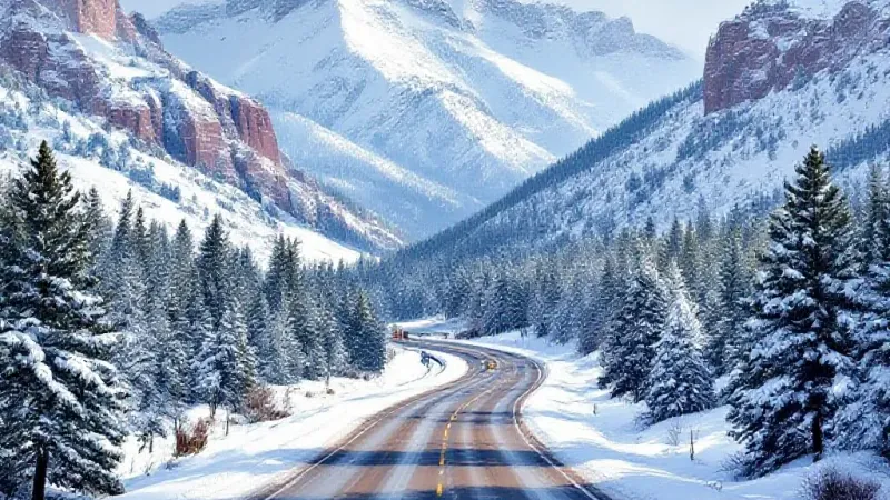
Mountain snow is expected to continue across Colorado's high country through Monday night, adding to significant accumulations that have already fallen, according to the National Weather Service. Colder temperatures anticipated on Monday should further contribute to snow totals, potentially impacting travel for Grand Junction residents heading east over the passes.
The National Weather Service highlights a considerable variance in potential snowfall for Monday morning through Thursday morning, dependent on whether an "expected" or "high-end" scenario unfolds. The "expected" scenario, which carries an 80% chance, projects eight to 12 inches of snow, primarily confined to the state's highest peaks. Under this more likely outcome, the Eisenhower-Johnson Memorial Tunnel complex along I-70 could see approximately eight inches, with most of that accumulation occurring throughout Monday.
However, a "high-end" scenario, with a 10% chance of occurring, suggests a much more widespread and heavier snowfall. In this less probable but impactful situation, some mountain areas could receive up to 24 inches, or potentially more. Crucially for Western Slope travelers, the Eisenhower-Johnson Memorial Tunnel complex on I-70 could accumulate up to 17 inches. Such heavy snowfall would make travel impacts much more likely, potentially causing significant delays or closures for those commuting or traveling for the holiday week. Other high-elevation mountain passes, such as Wolf Creek Pass, also show similar variances, with forecasts ranging from one inch in the expected scenario to up to eight inches in the high-end outlook.
Given these possibilities, the National Weather Service advises travelers planning to head into the mountains on Monday or Tuesday morning to prepare for snowy conditions. Packing vehicles with essential winter supplies is a recommended safety measure.
Beyond travel concerns, the snow is a welcome sight for many of the state's ski resorts. The OpenSnow daily report indicates that most ski areas across Colorado should receive at least some fresh powder over the next five days. Beaver Creek and Vail are particularly "in the crosshairs" of this storm, with each expected to get about 11 inches. Steamboat Resort, located northwest, is also anticipating similar totals, which would be a boost for an area that has experienced dryness earlier this season. Central mountain resorts are also expected to benefit from this latest round of snowfall.
As of November 2, Colorado's statewide snowpack stood at approximately 106 percent of the long-term median for the date. However, this figure is somewhat misleading due to significant snowfall concentrated in Southwest Colorado. For instance, the southwesternmost river basin registered an impressive 430 percent of its typical snowpack for this time of year, while the northwesternmost river basin was at only 30 percent of its normal accumulation. This storm could help to somewhat even out some of these regional disparities.
Residents seeking more detailed forecasting information can find additional updates on the National Weather Service website.