
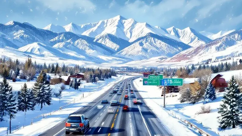
Colorado's high country is set to see continued snow, with the National Weather Service predicting significant accumulations through Monday night. Travelers heading east on Interstate 70 could face challenges, particularly around Vail Pass and the Eisenhower-Johnson Memorial Tunnel complex, as Denver Gazette reported.
The National Weather Service anticipates that some of the state’s high peaks will accumulate between 6 and 12 inches of snow on Monday. Meteorologists with the agency also indicated that lower elevation mountain valleys could receive 1 to 6 inches, with expected impacts remaining limited under this most likely scenario.
For those traveling on Monday and through Thursday morning, concerns are focused on the I-70 corridor. National Weather Service mapping shows the stretch near the Eisenhower-Johnson Memorial Tunnel complex could accumulate about 8 inches of snow, with the majority expected on Monday. Similarly, Vail Pass is forecasted to receive between 6 and 8 inches during the same period.
There is also a 10% chance of a high-end snowfall forecast materializing, which would result in more widespread and deeper snow totals. In this less likely but possible scenario, high peaks could see substantial accumulations of 18 to 24 inches of snow through Thursday morning.
Mountain valleys in this high-end scenario would likely experience 8 to 18 inches of snow. Travel conditions on I-70 would become much more dangerous, with approximately 17 inches of snow possible near the Eisenhower-Johnson Memorial Tunnel complex.
The Front Range metro area is expected to largely miss out on this significant snowfall, with the exception of potential flurries that could occur between Colorado Springs and Castle Rock in both the most likely and high-end scenarios.
As of November 2, the statewide snowpack currently stands at about 106% of the long-term norm for this time of year. However, this figure is considered somewhat misleading because it is skewed by substantial snowfall that has already occurred in the southern half of the state.
For example, the southwestern-most river basin in Colorado shows snowpack at approximately 430% of its normal level for the date. In contrast, the state's northwestern-most river basin is currently reporting only 30% of what is typical for snowpack at this point in the season.