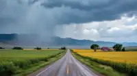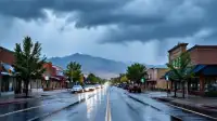
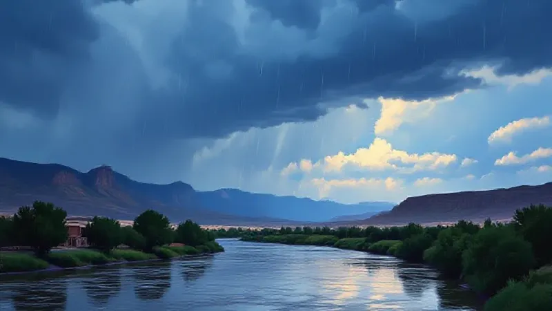
Western Colorado is bracing for a substantial weather event beginning Wednesday, as the remnants of Hurricane Trudy move into the region. The National Weather Service in Grand Junction indicates this warm storm will deliver heavy rain across the area, peaking Wednesday night into Thursday, and carries a significant risk of flash flooding.
Today, the area is expected to experience normal fall temperatures, with only a stray shower or rumble of thunder possible in the mountains. However, conditions are set to change dramatically starting Wednesday, when rain will spread across the entire region. The strongest part of the storm is predicted to hit Wednesday night and continue into Thursday, potentially dumping a considerable amount of rain in a short period. This rapid rainfall makes flash flooding a real possibility across Western Colorado.
The storm's warm nature is a key factor, meaning it will bring rain instead of snow, even at high elevations in the mountains. This rain is expected to fall on top of existing snow from last week, accelerating its melt. The combined effect of new rainfall and melting snow will send a large volume of water downhill into local rivers simultaneously, increasing water levels.
Specific forecasts for rain accumulation vary by elevation and location. Mountains in the southern part of the state, particularly around the San Juans, could see between one to three inches of rain, and potentially more. Central Colorado mountains might receive one to two inches, while northern mountain areas could get closer to an inch. The National Weather Service in Grand Junction notes that these precipitation estimates could still change.
Local rivers are expected to be impacted. The San Juan River near Pagosa Springs could experience minor overflow, while the Animas and Piedra rivers are projected to rise significantly, possibly reaching their banks. Residents are urged to take precautions to mitigate potential risks. This includes cleaning out home gutters before Wednesday to manage runoff.
Public safety advice for the duration of the storm and its immediate aftermath is critical. The National Weather Service in Grand Junction recommends staying out of dry creek beds and washes throughout Thursday and Friday, as these areas can fill rapidly without warning. If water is observed flowing over a road, motorists should turn around and avoid attempting to drive through it. Additionally, anyone planning river trips in southern areas should postpone them until water levels subside and conditions calm down. The agency also advises residents to continue monitoring updated forecasts, as the situation remains dynamic.