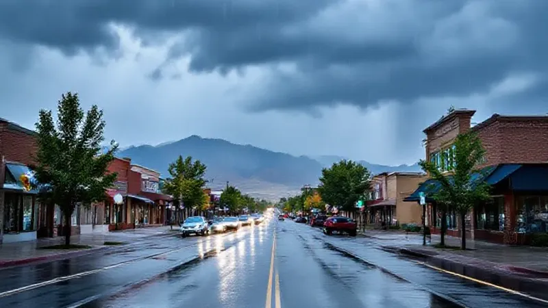
Grand Junction and Mesa County residents should prepare for continued wet weather and the potential for localized flooding through Friday, as showers and thunderstorms persist across the region. A Flood Watch has been issued for the Four Corners counties, indicating a heightened risk of flash flooding.
Local weather forecasts indicate that showers and thunderstorms are capable of producing hail, gusty winds, and heavy rain, which can lead to localized flooding. Temperatures are expected to remain near to below normal for the coming days.
The Flood Watch is specifically in effect for the Four Corners counties starting at noon today and lasting until midnight Thursday evening. During this period, some thunderstorms are expected to drop significant amounts of rain, potentially leading to flash flooding. This risk is particularly high around creeks, streams, rivers, canyons, and areas affected by past burn scars. Weather officials caution that some storms could deliver rainfall rates exceeding an inch per hour. Residents are advised to remain weather aware and ensure they have reliable ways to receive weather alerts. A critical safety reminder shared by officials is to avoid driving through flood waters, stating, "Don't go through flood waters with your car, instead turn around and don't drown!" This caution is especially relevant for commuters and anyone traveling in areas prone to pooling water.
For today, the Grand Valley can expect partly cloudy skies with scattered showers and thunderstorms. These storms will carry the potential for hail, gusty winds, and heavy rain, which may result in localized flooding. High temperatures are projected to be in the mid to high 70s, while overnight to morning low temperatures will range from the high 40s to high 50s.
Thursday's forecast includes mostly cloudy conditions with periods of rain and thunderstorms during the morning hours. Similar to today, these showers and thunderstorms will be capable of producing hail, gusty winds, and heavy rain, increasing the risk of localized flooding. The afternoon is expected to see partly cloudy skies with scattered showers and thunderstorms. High temperatures on Thursday will also be in the mid to high 70s, with overnight to morning lows consistent at high 40s to high 50s.
On Friday, the region is forecast to be mostly sunny, though isolated showers and thunderstorms are still possible, particularly in the morning. These remaining storms will retain the capacity for hail, gusty winds, and heavy rain, with the potential for localized flooding. High temperatures are again anticipated to be in the mid to high 70s, and overnight lows will stay in the high 40s to high 50s.
Looking ahead to the weekend, weather patterns are expected to clear significantly. Mostly sunny conditions are anticipated after possible isolated showers on Saturday morning. This shift promises a more pleasant outlook for outdoor activities. High temperatures throughout the weekend will remain near normal, offering comfortable conditions for residents. The forecast notes that the next two weeks will see peak colors for fall foliage, making the clearing weather ideal for spotting autumn's vibrant hues across the Grand Valley and surrounding areas. This offers a welcome change for families and outdoor enthusiasts planning weekend excursions after the week's unsettled weather.