

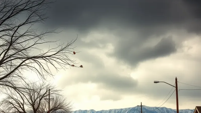
KKCO reported that residents across Grand Junction and the surrounding region should prepare for a notable shift in local weather conditions as rain and mountain snow are expected Tuesday afternoon. The approaching weather system brings several distinct meteorological elements that will affect both the valley floor and the nearby higher elevations during the course of the day.
For residents and commuters around Grand Junction, afternoon high temperatures are expected to reach near 62 degrees before the weather system fully materializes. While the valley floor enjoys these relatively mild temperatures earlier in the day, individuals should also anticipate blustery conditions as the system moves in. Specifically, wind gusts up to 35 mph are expected Tuesday across the local area, which could create brisk conditions for anyone out on the streets or managing outdoor tasks in Grand Junction.
Precipitation on the valley floor is projected to remain relatively light as the system passes through. Valley rainfall is generally expected to be less than a quarter inch. This indicates that the lower elevations will see mostly damp conditions rather than significant flooding or heavy downpours, though the combination of moisture and steady winds will still make for a distinctly unsettled Tuesday afternoon across the local community.
Meanwhile, conditions in the nearby higher elevations will turn decidedly more winter-like as the storm progresses. Mountain snowfall is expected to accompany the valley precipitation, bringing a localized accumulation generally between 1 and 4 inches to the mountain ranges. This accumulation of mountain snow will begin to coat the higher terrain as the system arrives on Tuesday afternoon.
In addition to the expected mountain snowfall, the higher elevations will experience significantly stronger winds than the valley floor. Mountain wind gusts are forecasted to reach up to 50 mph in these elevated areas. These powerful gusts, when combined with the anticipated mountain snowfall generally between 1 and 4 inches, mean that anyone traveling through the mountain passes or recreating in the higher terrain on Tuesday afternoon will encounter much harsher and more turbulent weather conditions than those remaining down around Grand Junction, where afternoon high temperatures near 62 degrees, valley rainfall generally less than a quarter inch, and wind gusts up to 35 mph define the daily forecast.