

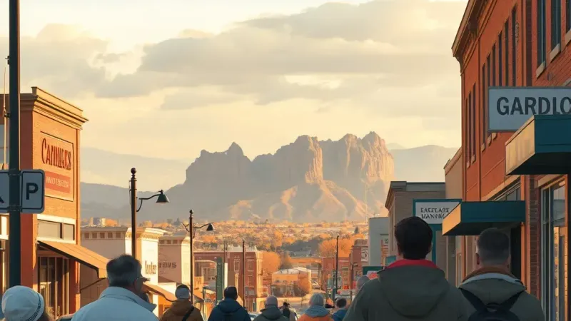
Residents across Grand Junction and the surrounding valley are enjoying a final stretch of mild conditions before a notable shift in the local weather pattern arrives this weekend. According to the National Weather Service, Grand Junction highs are expected to reach near 60 degrees on Friday, providing a pleasant afternoon before a developing storm system moves into the region.
The Grand Junction office of the National Weather Service, situated at 2844 Aviators Way, has outlined the expected changes for the local area as the weekend progresses. Following Friday's warm afternoon, the incoming storm will bring scattered rain to the valley floor. Along with the precipitation, daytime temperatures in the valley are forecast to drop into the low 50s on Saturday, marking a clear cooldown from the end of the workweek.
While valley residents can expect rain and cooler air, the mountain regions will see a distinct transition to winter precipitation. High country snow is anticipated to start falling between 8,000 and 9,000 feet in elevation as the storm system impacts the higher terrain across the region.
The heaviest mountain impacts are currently projected for the southern ranges. Specifically, the San Juans have an 80 percent chance of receiving six inches or more of snow, with these accumulations expected primarily above 9,000 to 10,000 feet elevation.
Anyone planning weekend travel, recreation, or other activities heading into the high country or the San Juans will want to prepare for winter driving conditions, lower temperatures, and significant snowfall. Meanwhile, commuters and residents staying local in the valley will notice the distinct drop from Friday's near 60-degree highs to Saturday's low 50s alongside the scattered rain showers. The National Weather Service forecast team stationed at their local office at 2844 Aviators Way will continue tracking the storm's path and providing updates on the system as it moves across Western Colorado and brings these varied weather conditions to different elevations.