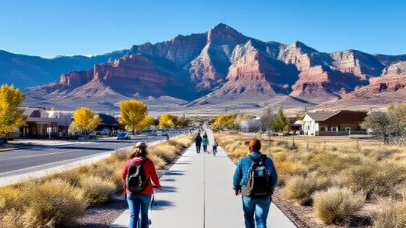
Grand Junction residents and those in the surrounding Mesa County can expect a stretch of unseasonably warm weather for the start of the week, with high temperatures anticipated to be 10 to 14 degrees above normal averages. Most of the Grand Valley will remain largely dry, though isolated mountain showers are possible, particularly in higher elevations, through Wednesday. This comes before a potential shift to cooler, more seasonal fall temperatures and a greater chance of rain by Sunday into next week, according to the latest outlook.
For today, the Grand Valley is forecast to be mostly sunny, with conditions remaining largely dry in the lower elevations. However, hikers and those spending time in the mountains should be aware of isolated showers that could develop. The sun's intensity will be notable, with a high UV index of 6, suggesting that sunburn could occur in approximately 30 minutes for unprotected skin. Afternoon high temperatures across the area are expected to range from the mid-70s to the mid-80s, contributing to the unseasonable warmth. Overnight and into early morning hours, low temperatures are predicted to settle between the mid-40s and high-50s.
Tuesday's weather pattern for Grand Junction and Mesa County will be partly cloudy, maintaining primarily dry conditions in the valley areas. As with today, isolated mountain showers remain a possibility throughout the day. There is a slight chance that some of these showers could extend into the valleys during the afternoon hours, though forecasters indicate that most areas in the valley will likely stay dry. High temperatures on Tuesday are again forecast to reach the mid-70s to mid-80s, continuing the warmer-than-average trend. Overnight lows heading into Wednesday morning are expected to mirror previous nights, ranging from the mid-40s to high-50s.
Wednesday will see a return to mostly sunny skies for much of the Grand Valley. Similar to the preceding days, conditions are expected to remain mostly dry across the lower elevations. However, isolated mountain showers are still in the forecast, with a potential for these showers to extend into some valley areas. High temperatures for Wednesday are projected to be slightly cooler than the start of the week, but still unseasonably warm, ranging from the mid-70s to the low-80s. Overnight into Thursday morning, low temperatures will continue in the mid-40s to high-50s range.
Looking ahead, a significant weather pattern shift is anticipated to develop by Sunday and extend into next week. This change is expected to be driven by an area of low pressure moving in from the Pacific Northwest. This system is forecast to bring anticipated opportunities for rain and cooler fall temperatures. Residents are advised that this forecast is still developing, and forecasters will have the outlook "tuned closer to the weekend," implying further updates on the timing and intensity of the rain and cooler air are likely as the event draws nearer.