
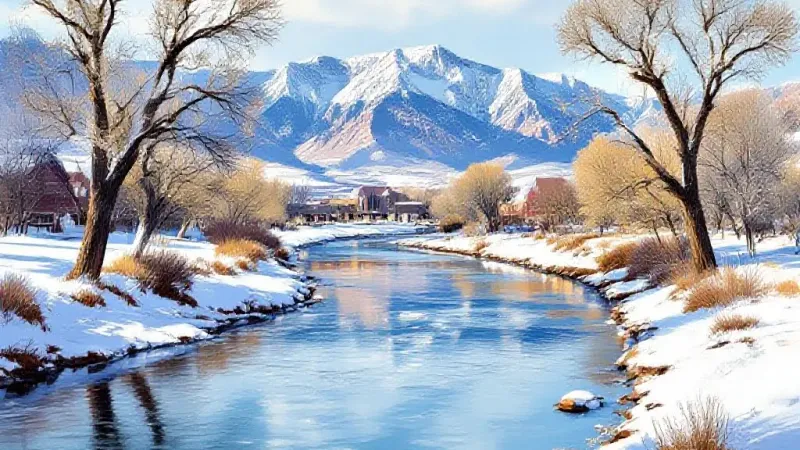
Southwest Colorado recently experienced significant snowfall, with some areas recording up to 24 inches of new snow, according to reporting from the National Oceanic and Atmospheric Administration (NOAA). This early precipitation has substantially increased snowpack in the state's southern regions, but its impact on local river basins near Grand Junction is a mixed bag for the start of the water year.
NOAA reported that as of Monday, October 26, at 7 a.m., the heaviest snow totals over the preceding 72 hours occurred south of Wolf Creek Pass, where accumulations reached between 18 and 24 inches. Areas north of Wolf Creek Pass saw 12 to 18 inches. Other mountain regions, including the Silverton area, the Sawatch Range, the Mosquito Range, and the Elks, received approximately 12 inches of new snow. Limited sections of the Sangre de Cristos also reported slightly more than a foot of snow.
Across the state, snowfall was more limited along the Front Range and in mountainous terrain north of I-70. However, the Rawah Wilderness was an exception, with eight to 12 inches of accumulation during this period.
While Colorado's statewide snowpack was about 155 percent of the norm for October 26, NOAA noted that this figure is "a bit misleading." The statewide average conceals significant regional disparities. The southern half of Colorado is experiencing snowpack levels considerably higher than normal for the date, whereas the northern half generally shows below-average accumulation.
For residents in the Grand Valley, these regional differences are particularly noteworthy. The Gunnison River Basin, located south of Grand Junction, reported its snowpack at a robust 350 percent of its normal level for October 26. In contrast, the Colorado Headwaters River Basin, situated north of Grand Junction, was at 66 percent of its norm for the same date.
Other river basins across Colorado reflect this uneven distribution. The San Miguel-Dolores-Animas-San Juan River Basin in the state's southwest corner recorded an impressive 685 percent of its snowpack norm. The Upper Rio Grande River Basin in southern Colorado also saw substantial early accumulation, reaching 666 percent of its norm, and the Arkansas River Basin, also in southern Colorado, was at 220 percent of its norm. Conversely, basins in the northern part of the state generally lagged: the Laramie and North Platte River Basin in northern Colorado was at 56 percent, the South Platte River Basin on the northern Front Range was at 44 percent, and the Yampa-White-Little Snake River Basin in northwest Colorado was at 47 percent of its norm.
This early-season snowfall may influence the timing of ski resort openings. Most ski areas that typically open first are in parts of the state where the current snowpack is not particularly high. Wolf Creek Ski Area, however, is an exception, positioned to benefit from the significant snow in its region. Exact opening dates for ski resorts have yet to be determined.